Interactive and dynamic experience of a World Heritage island modeled in 3D with photogrammetry in three dimensions - Part 1
#Photogrametry #Case Studies #Creator Tips
This will be the fourth installment of Content Creation Tips from creators utilizing Spatial Reality Display/Spatial Reproduction Display. In this installment, Satoru Onishi and Satoshi Akutsu of Taiyo Kikaku K.K., which specializes in content creation for a wide range of digital archives, talk about their "Digital BOX Gunkanjima" content creation and know-how on how to display it more attractively.
In the first part, they will introduce photogrammetric creation methods, and in the second part, they will introduce tips to actually display the contents in an attractive manner on a spatial reproduction display.
Please enjoy the tips explained by Mr. Onishi and Mr. Akutsu.
Digital BOX Gunkanjima: Gunkanjima Museum VR Multilingual Interpretation Project
"Digital BOX Gunkanjima" is content that can be experienced with the ELF-SR2, produced as part of a project adopted by the Agency for Cultural Affairs under its 2023 Multilingual Interpretation of Cultural Properties Improvement Project. The project was overseen by the Gunkanjima Museum in Nomo-machi, Nagasaki City, Nagasaki Prefecture, and co-produced by Creek & River, Inc. and other companies including HAKOSCO Corporation, NPO J-heritage, DTS Communications, and Dentetsu Shoji Co. The project is based on more than 20,000 photos taken by Sony α7RV and drones over a three-day period in November 2023 with the cooperation of the Tourism Policy Division of Nagasaki City, as well as point cloud data from laser scan measurements. Mr. Adachi, deputy director of the Gunkanjima Museum, states, "We did something cutting-edge in the south-westernmost town, and we believe that we have created content that brings the history and culture of Nagasaki closer to the viewer."
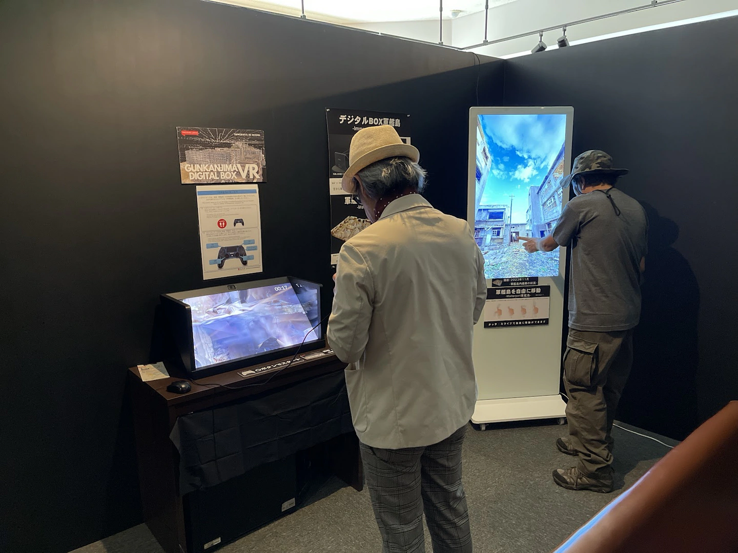
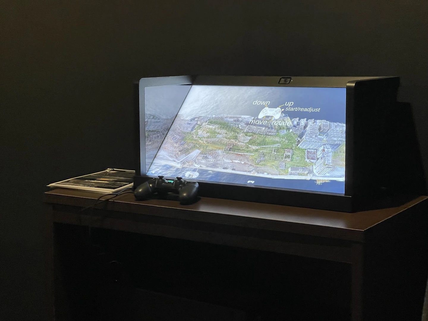
[Nagasaki City Gunkanjima Museum Digital BOX Gunkanjima]
Overview of Hashima Island (Gunkanjima) modeled in 3D this time
The Hashima Coal Mine on Hashima Island (commonly known as Gunkanjima) in Nagasaki City is one of the components of the World Heritage Site "Industrial Revolution Heritage of Meiji Japan: Iron and Steel Making, Shipbuilding, and Coal Industry." Gunkanjima was originally a small stream and reef measuring 320 meters from north to south and 120 meters from east to west. Coal mining began in 1870, and the island was expanded three times through six rounds of reclamation along with coal mine development. In the late Meiji period, the Hashima Island coal mine became a coking coal production site for the Yawata Steel Works, and after 1916 during the Taisho period, many high-rise reinforced concrete houses were built. In the 1960s, the population density of the island was higher than that of Tokyo. In 2015, the Meiji Era remains of the Hashima Coal Mine were registered as a World Cultural Heritage site.
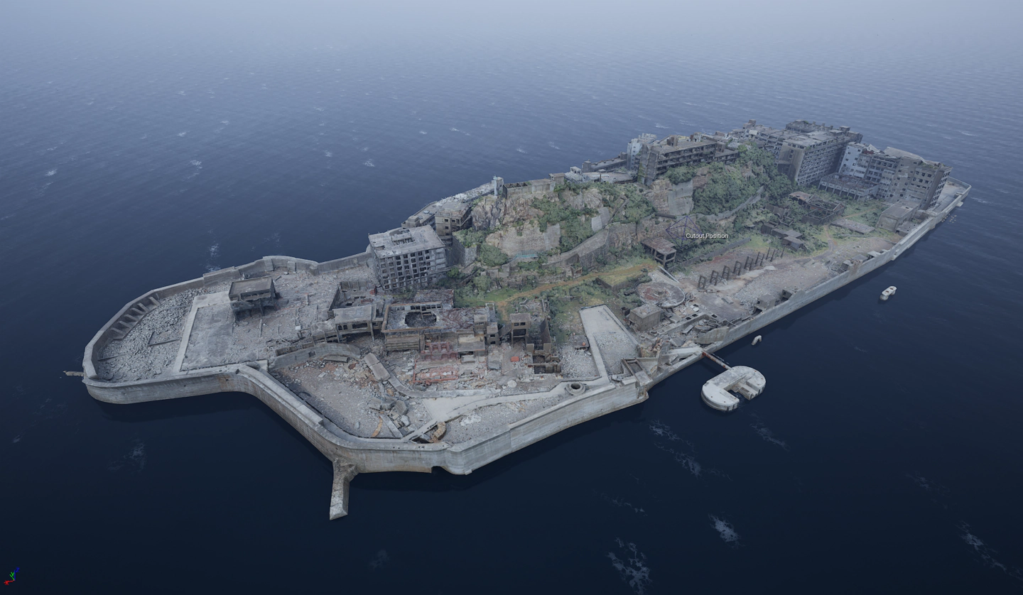
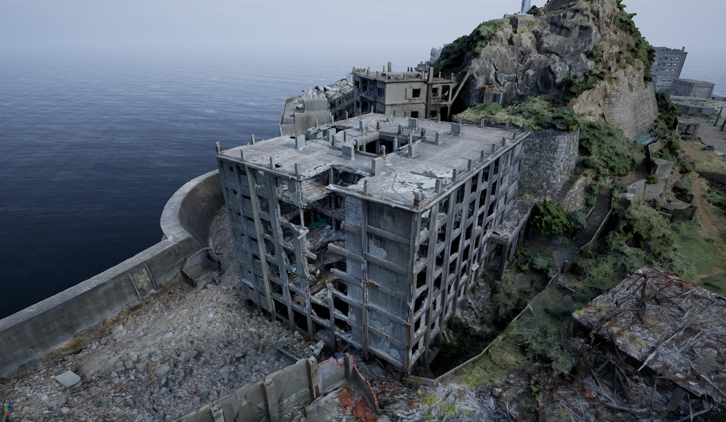
[Gunkanjima modeled in 3D with photogrammetry]
About photogrammetric photography
Photogrammetry is a technology that takes photographs of a subject from various angles and generates a 3D model based on the photographs. Gunkanjima is a long, narrow island with a north-south axis of about 480 meters and an east-west axis of about 160 meters, and is surrounded by a concrete seawall. We also took laser scan measurements of the entire island as time allowed. The M300RTK took approximately 7,000 shots, while the Mavic 3 Pro took approximately 6,000 shots. On the ground, we used SONY's α7RV and α6000 to take photos; the α7RV took over 18,000 photos of the exterior and the interior of the buildings.
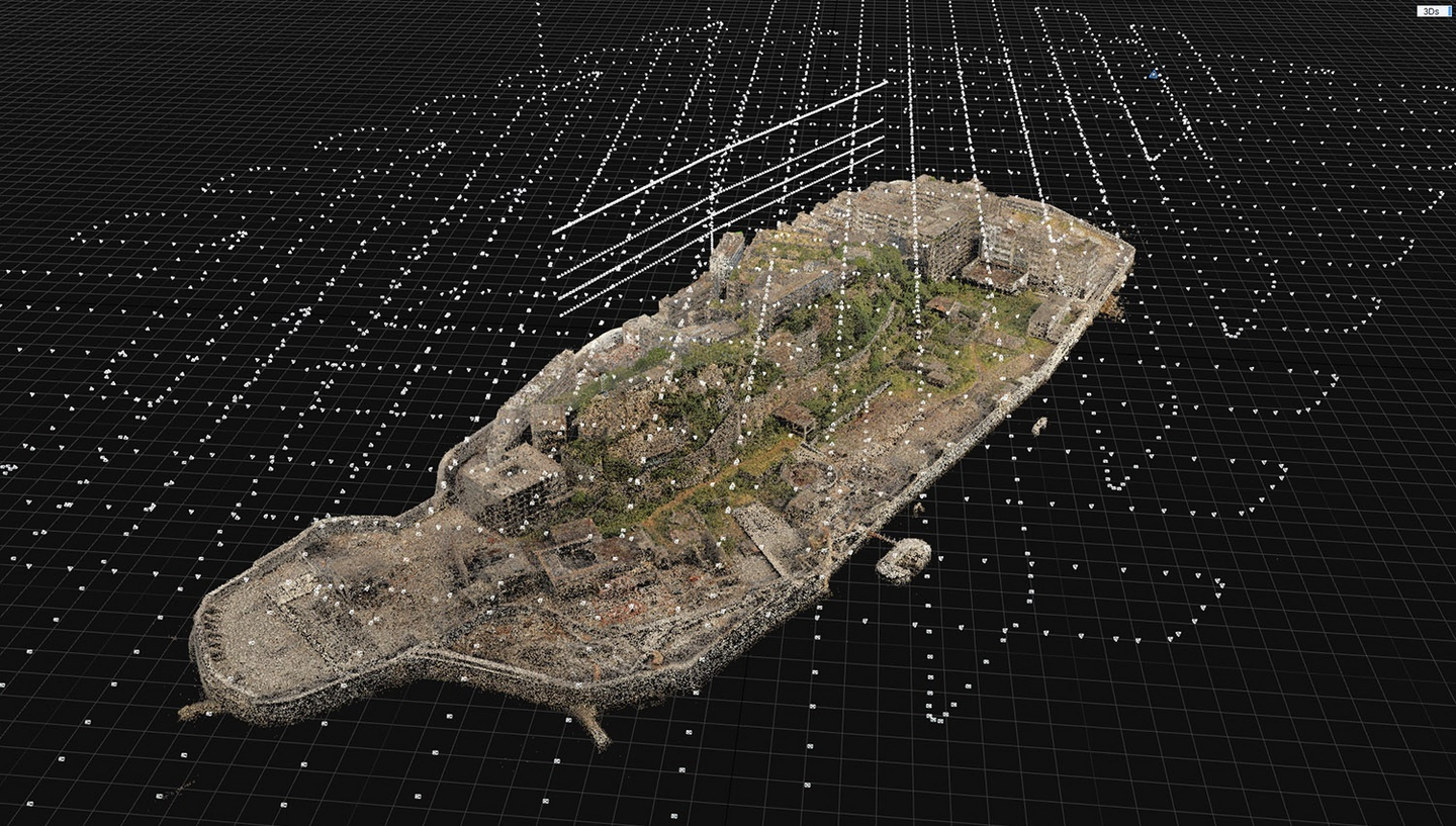
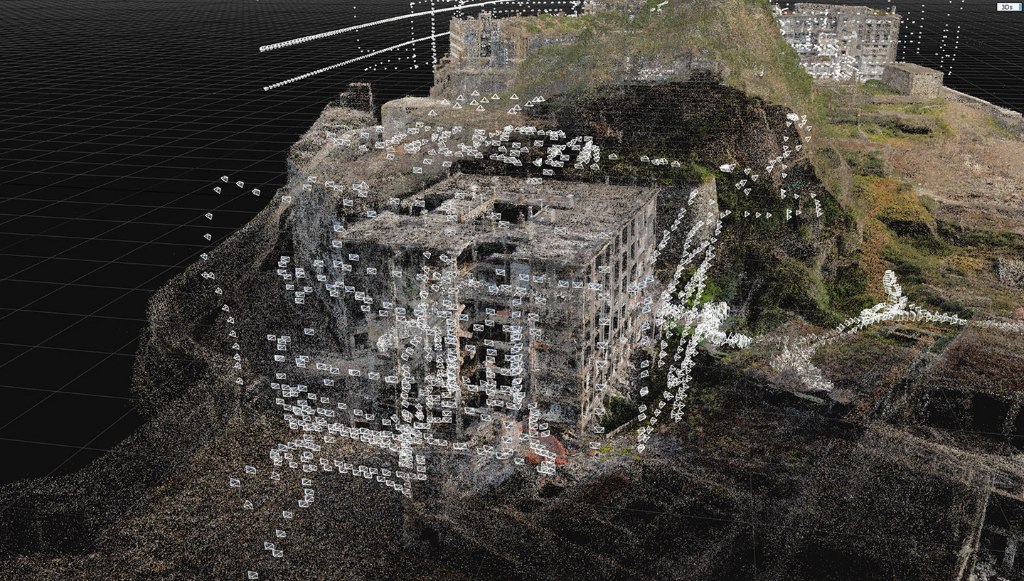
[Wide-area aerial photography with DJI M300RTK and close-up photography with Mavic 3 Pro]
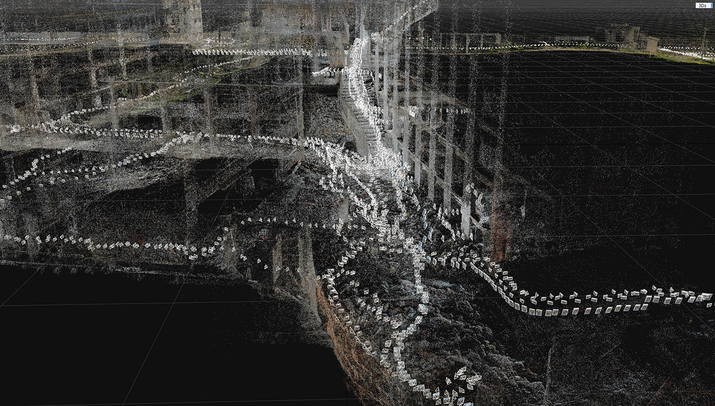
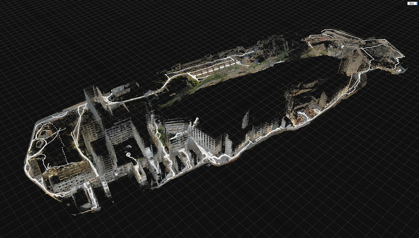
[Sony α7RV and α6000 were used to walk around and photograph the island!]
Point Cloud Measurement with a Laser Scanner
Point cloud measurement using a laser scanner provides highly accurate and detailed three-dimensional data. This enables digitization of the exact shape and size of the object. In addition, since measurements can be taken without directly touching the object, fragile artifacts and hazardous locations could be measured safely and efficiently. This time, about 150 locations on the island were scanned.
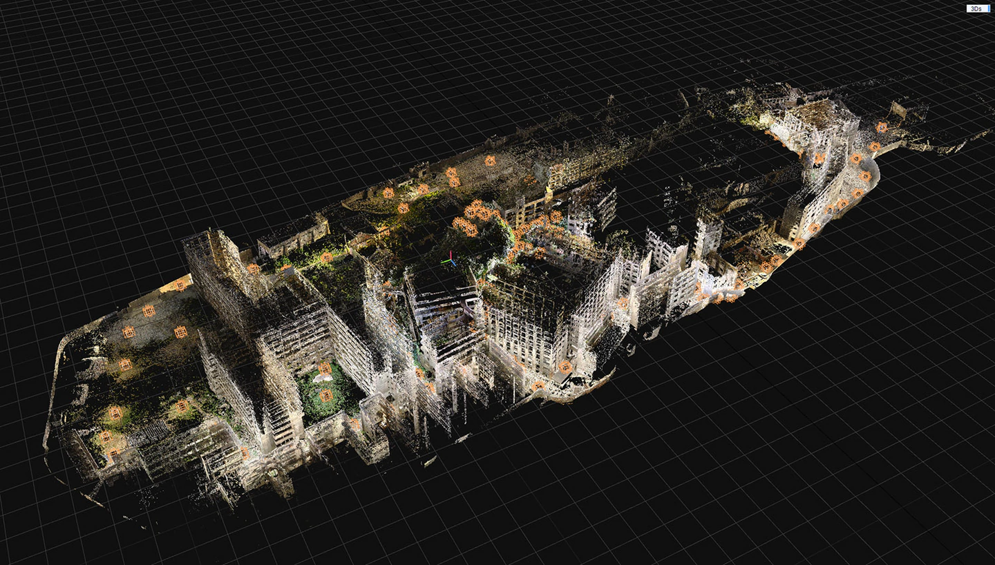
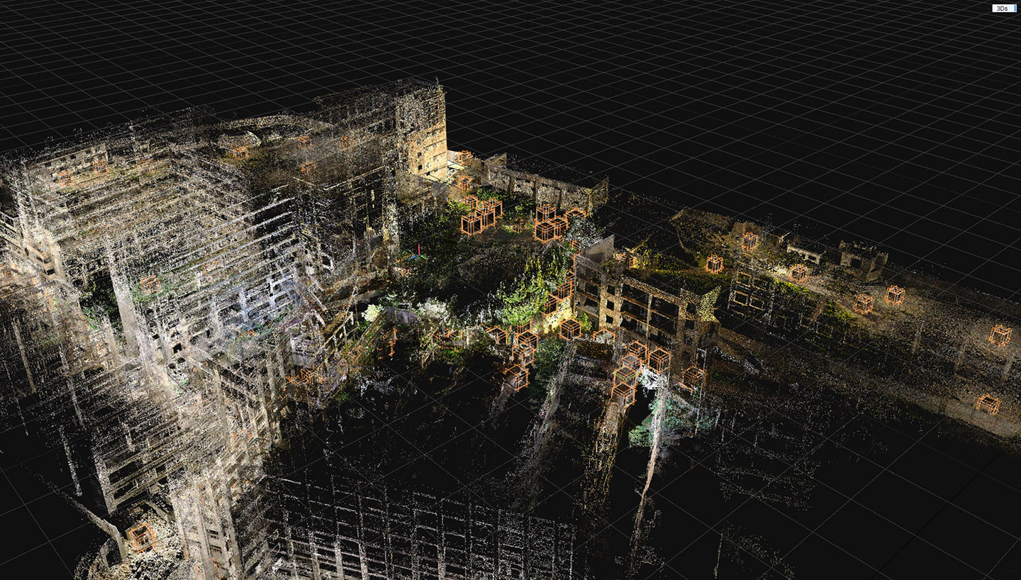
[About 150 locations on the island were laser scanned.]
Photogrammetry Production
An application called RealityCapture was used for the photogrammetric work. It took about a week to align the photographic material, and we separated the photos of the building interior separately, keeping the number of photos aligned to no more than about 20,000, using only the exterior material. This is because too many photos would cause the application to freeze due to insufficient PC memory. If components (groups of photos) are separated, they are merged using control points. Once the photo alignment process is complete, the data is merged with the laser scanner data and meshing calculations are performed. The original model data thus created is approximately 300 million polygons.
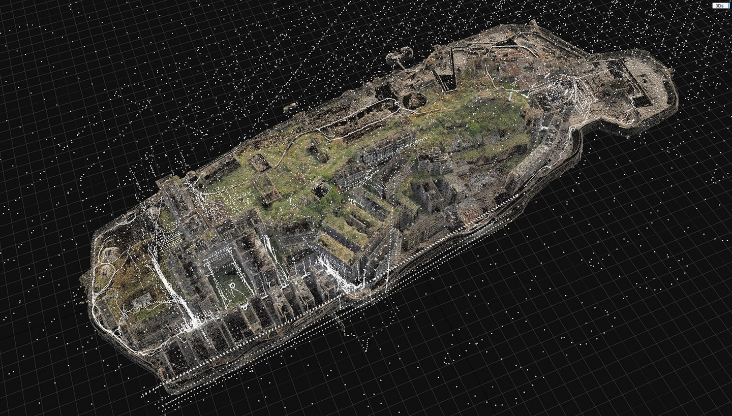
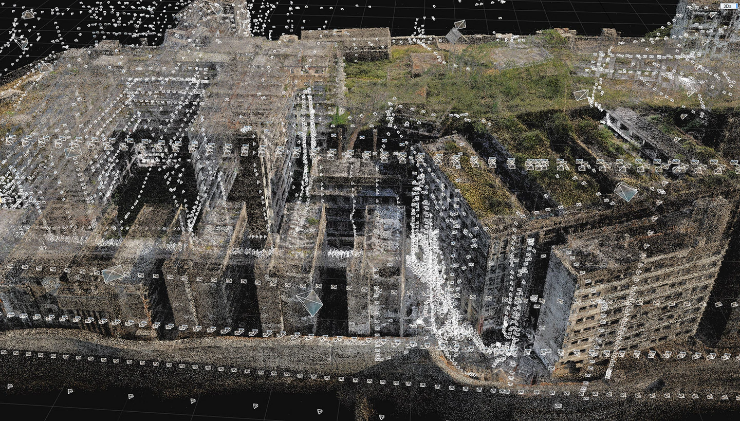
[Combining drone and ground camera photos with control points]
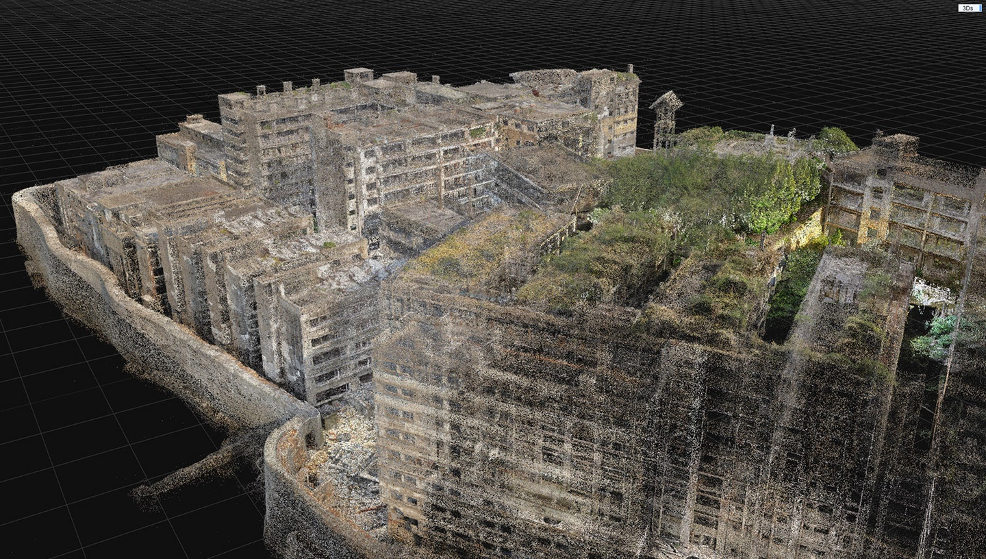
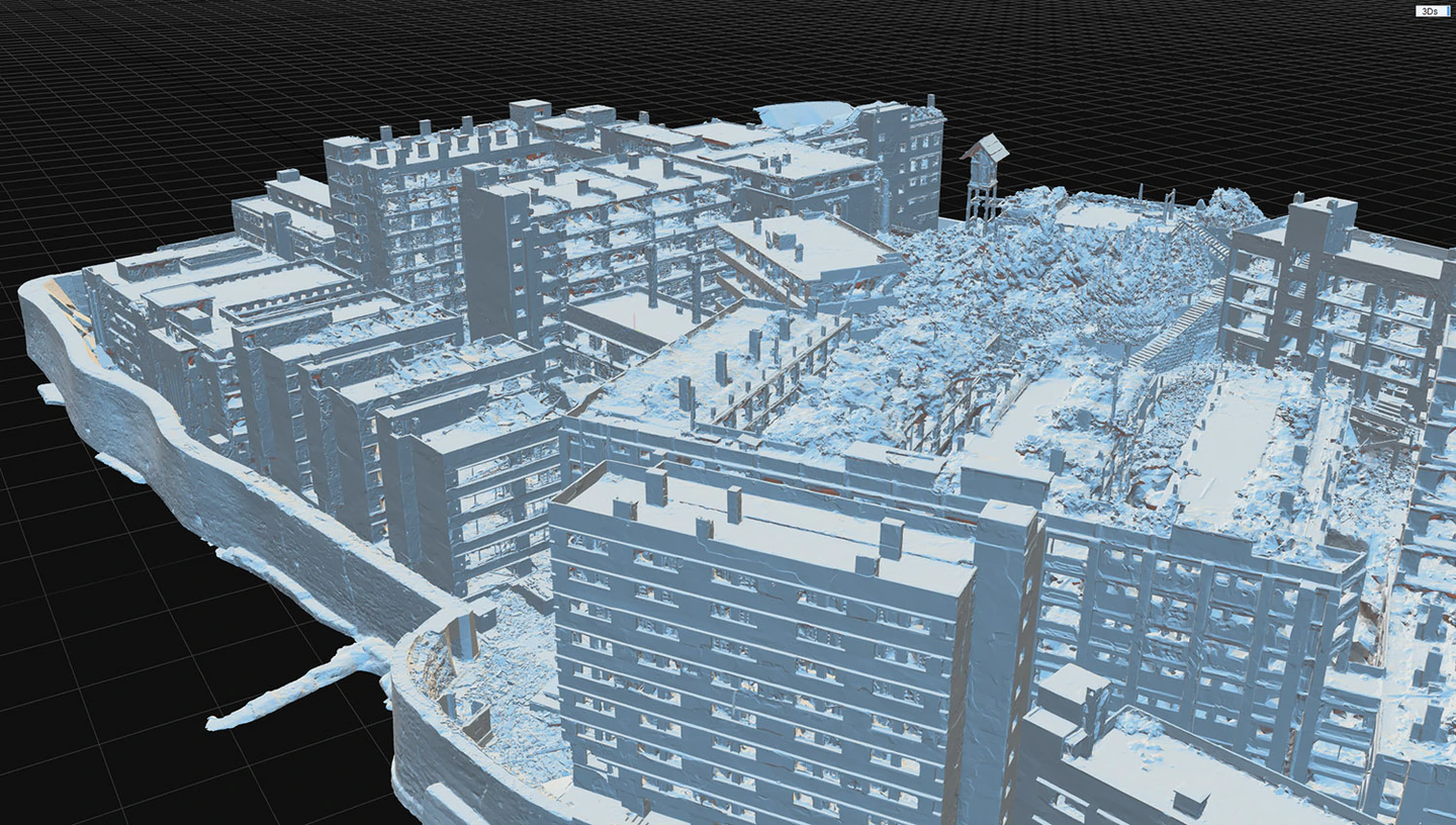
[Meshing calculations are performed after merging photo components and laser scan data]
At this point, photogrammetric model creation is complete.
In the second part, we will show you tips for projecting this model on the ELF-SR2.
Interactive and dynamic experience of a World Heritage island modeled in 3D with photogrammetry in three dimensions - Part 2
Taiyo Kikaku Inc. accepts requests for production of digital archive contents such as this article. If you are interested, please contact us at the following address.

Tech Lab
contact
Mr. Onishi X (formerly Twitter)
“α” is a trademark of Sony Group Inc. © 2024, Epic Games, Inc. Epic Games, the Epic Games logo, RealityCapture and the RealityCapture logo are trademarks or registered trademarks of Epic Games, Inc. in the United States and/or other countries.

